Scotland
 UK
UK Ireland
 London

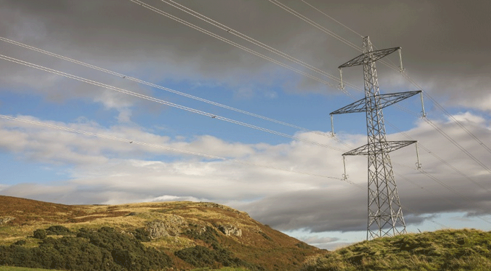
An innovative aerial surveying method is being used to map out the resilience of electricity networks in Scotland and England.
Scottish and Southern Electricity Networks (SSEN) are working with NM Group to create a model of its 63,000km power line network of Scottish and English operations.
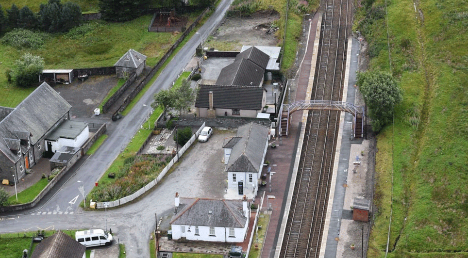
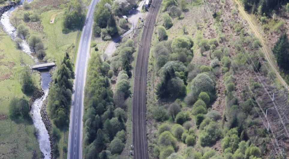
Using a fleet of LiDAR equipped aircraft, the technology create detailed maps which can reveal how close trees and other vegetation is to power lines, revealing which could pose a risk to networks.

The data will be used to conduct tree-cutting programmes and deliver maintenance work to help the network become more resilient.
Work on the first stage of the project is scheduled to be completed in March 2017.
Stewart Reid, Head of Asset Management and Innovation at SSEN, said: "The partnership with NM Group and the use of LiDAR will have a significant impact on the resilience of our network. It will help ensure we are able to identify and mitigate any risks and allow us to rectify any problems. This should result in a better security of supply to our customers.
NM Group CEO Kevin Jacobs added: "We are very pleased to have been awarded this multiyear contract for Scottish and Southern Electricity Networks. The innovative use of geospatial data and our 3D Caydence® platform will be instrumental in delivering the project objectives and we look forward to collaborating with SSEN throughout this long term initiative."
(LM/MH)