Scotland
 UK
 Ireland
 London


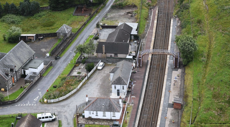
Caintech, an Inverness-based surveying company, has said it is now using a state-of-the-art UAV to carry out aerial orthographic imaging and 3D modelling.
The firm is currently the only surveying company in the north of Scotland offering a large-land-area, fixed-wing UAV with full Civil Aviation Authority (CAA) approval.
The unmanned aerial vehicle (UAV) was sourced through Caintech's sister company, Northern Survey Supplies, and provided by Topcon GB. When in use, the device allows the firm to survey more than 70 hectares an hour, at 3.5 GSD. The company has said this not only results in cost-saving benefits, but helps reduce exposure, especially for those working in adverse conditions or hazardous locations.
Caintech achieved final accreditation in June 2014, and a range of companies and organisations are already using the UAV surveying. For the renewable energy industry, one such example is providing a topographical survey for a new wind farm site in Scotland. Other examples of surveys include a large building site in Aberdeen, quarries, golf courses and distilleries. The system can also be used to assess crop and forestry health prior to spraying. It has been claimed that this could drastically reduce the amount of spray used – up to 90% – as farmers would only spray the places that actually need it.

Jim Main, Managing Director, Caintech, explained: "We brought professional air traffic controller Tim Riome on board to pilot our UAV. It was vital to us that we were fully licensed and accredited in this heavily regulated industry, so Tim travelled to the manufacturer in Germany for the week's initial training. We're now accredited by the CAA for aerial work, and by EuroUSC for our pilot's licence."
He continued: "Rather than conventionally surveyed ground markers, our UAV creates a vast grid of virtual ground control from its GPS base system, thereby vastly reducing time and exposure on site and creating a considerably more accurate survey than conventional methods."
Tim Riome added: "I recently surveyed a site that would take three days using traditional methods but I was on site for just 25 minutes. Not only that but our UAV captures absolutely everything, unlike traditional methods where there will always be gaps depending on the route the surveyors take."